Introducing ERIS Xplorer’s Water Flow Direction Tool
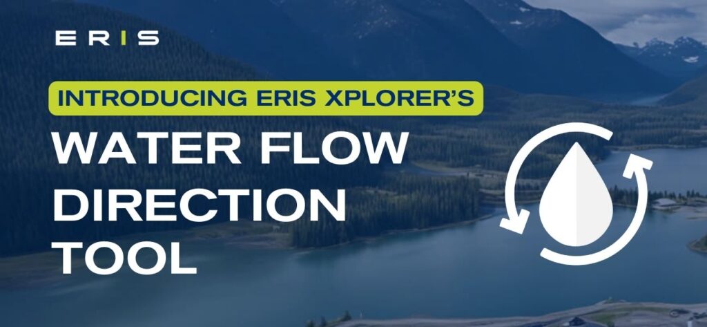
July 2024 – ERIS introduces the Water Flow Direction Tool within its ERIS Xplorer platform. The tool allows you to instantly determine the water flow direction for your project area with the click of a button. This time-saving feature is the latest enhancement to Xplorer.
ERIS Xplorer is a powerful, interactive platform for overlaying and analyzing data and map layers – included with your database report. Key features enable you to:
 Overlay data and multiple images over current street layers.
Switch between street, satellite, or terrain base layers.
Filter data to view only the desired data sources on the map.
Generate made-to-order branded figures and photo logs with the Figure Creator tool.

Want to learn more about this new tool or how ERIS Xplorer can streamline your workflow? Reach out to us with any questions or for a personalized demo.
Direction of water flow is determined by the direction of steepest descent, or maximum drop, from each cell (Jenson and Domingue, 1988). The output of the Flow Direction tool uses the D8 method to determine the maximum drop (gradient) in a direction from a point or centroid of a polygon or polyline.