Reports
All database reports include ERIS Xplorer, our interactive platform for analysis of data and map layers, including Figure Creator.
ERIS is your fast, accurate, and affordable resource for assessing environmental and property risk. ERIS’ database reports meet ASTM/AAI standards for Phase I environmental site assessments, as well as for comprehensive research related to all your environmental and property due diligence. ERIS provides a complete array of historical products to meet your requirements.


Historical Products


Applications

ERIS Mobile App

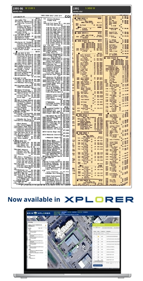
ERIS Xplorer
Vapor Screening Tool
Figure Creator
Pinpoint
Software as a Service
ERIS Direct
Scriva
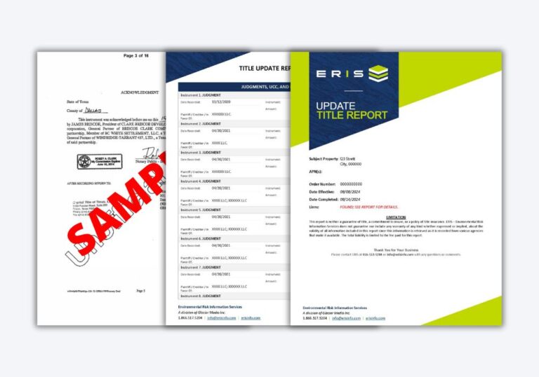
The ERIS Report
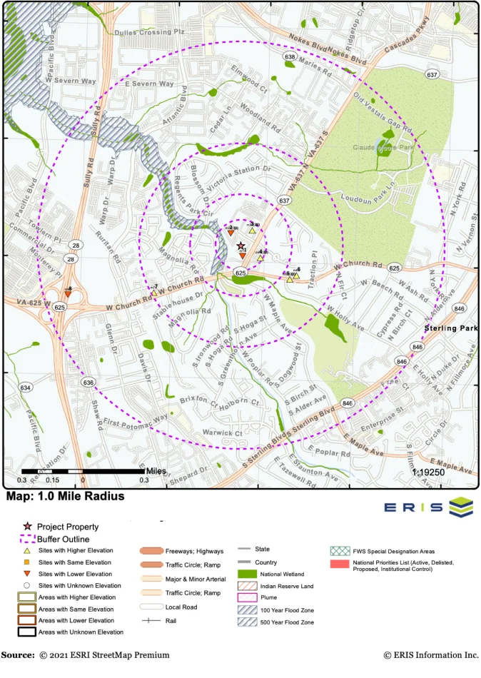
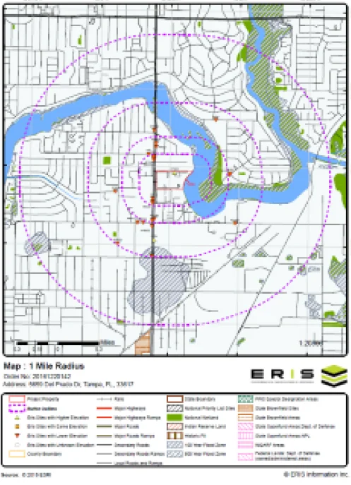
ERIS database reports provide current and historical environmental information for any property in North America in a concise and comprehensive manner.
Key federal, state or provincial and private sector databases are researched to identify and pinpoint environmental concerns associated with a particular property. ERIS reports are used to aid in the identification of possible environmental risks for commercial, industrial and residential sites. ERIS reports meet the CSA standards in Canada and the ASTM standards in the United States.
Each ERIS report contains